Trek to Tikona Fort

Tikona fort, also known as Vitandgad, is one of the easier forts to climb and would be a good introductory, yet interesting trek. The fort is close to Pavana Dam. The fort is on top of a ~3500 foot hill and offers unhindered views of the entire region including the forts of Tung, Lohagad and Visapur.
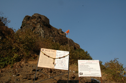
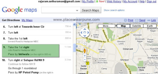
How to go to Tikona Fort from Pune (Magarpatta): Go towards Swargate, then tilak Road, karve Road and then Paud Road which will take you to Chandni Chowk. Then go in the direction of Mulshi/Tamhini. You will first cross Pirangut (Ghat) and then reach Paud Village. You have to take a right towards Pawna dam in this village. There are signs marked as Tikona/Pavana for this turn. After this, it is one long straight road until you start seeing Pavana dam on your left. Here you will see signboards for Tikona. You have to take a right towards Tikona Peth, the base village. the distance is approx 70 kms and should take you approx 2 hrs to reach there. Other alternate route is through NH4-Kamshet-Pavana-Tikona.
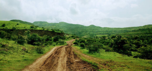
There are 2 paths to trek up. One starts right behind the houses in Tikona Peth. This is the slightly tougher, but shorter, one and can be avoided if you have newbies in the crowd. To reach the other path, you have to go ahead of the village on the dusty road for around 0.5 km and you will reach a clearly marked parking spot. From this place, a path goes in the direction opposite to the one where you see the fort. It is because this path is a gradual switchback which goes up and turns 180 and then stedily climbs towards the fort.
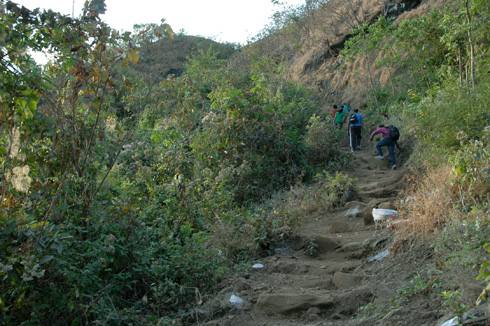

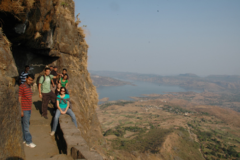
This is an easy trek because of many factors. One is the presence of a clearly marked trail. The other is the presence of many shelters/small caves after you are halfway up on the trail. Once you go up the initial slope and turn towards the fort, you are on a ledge with valleys on either side. You keep walking on this ledge for quite a while before you reach the base of the hill on which the actual fort resides.
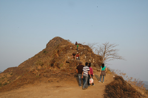
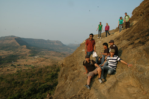
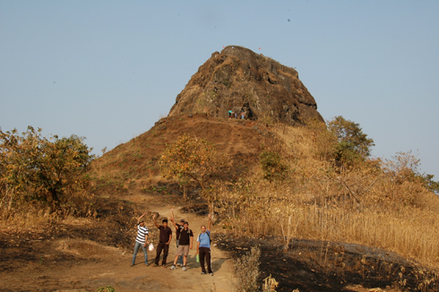
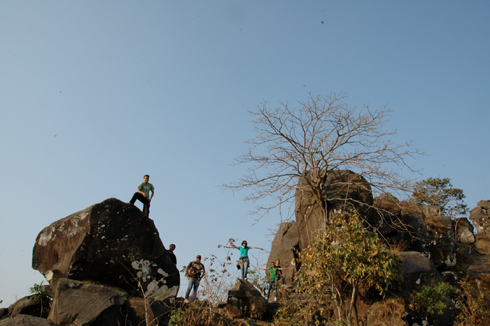
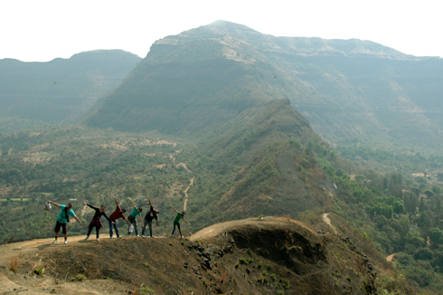
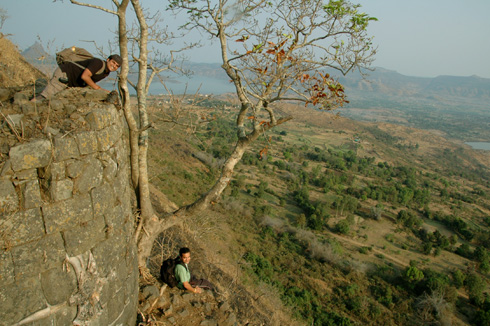
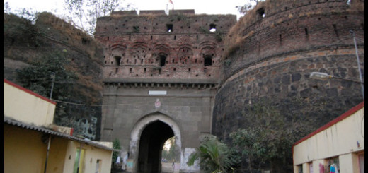
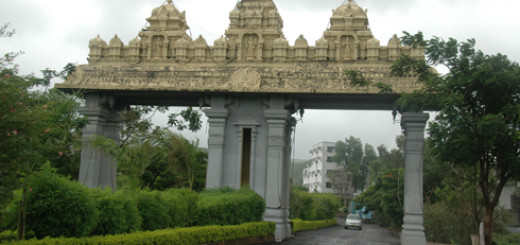
At one point, you will enter a darwaza(gate). There is an overhanging tree next to it. This makes for an excellent photo stop.
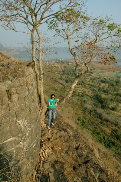
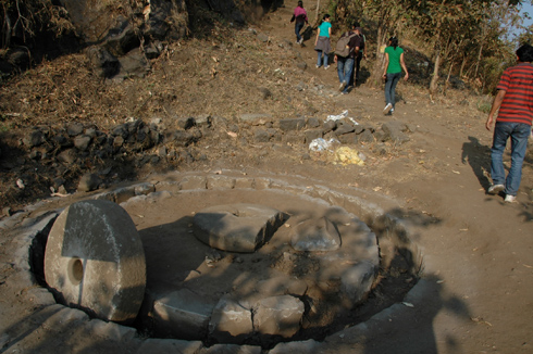
Around the halfway point, you will see a shall shrine and also a cave. If you had taken the other path, you would have reached this place. After this, the paths converge. There is also the remnant of a stone grinder, the kind pulled around by animals. From this point, the final (and a little steep) ascent to the top begins.
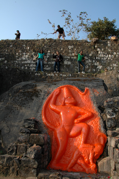
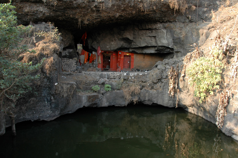
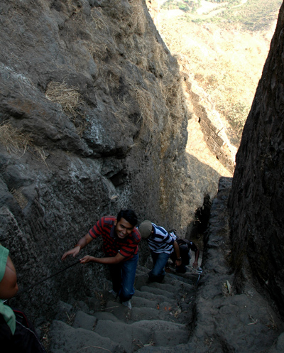
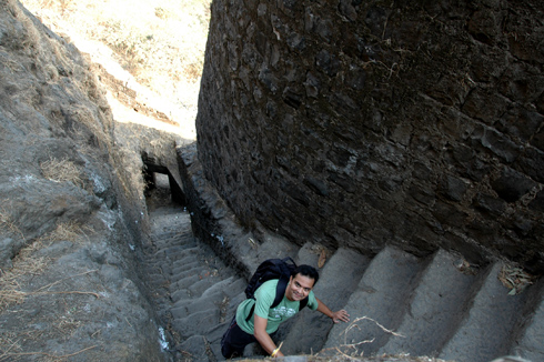
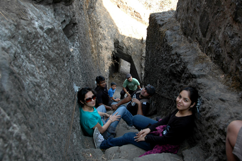
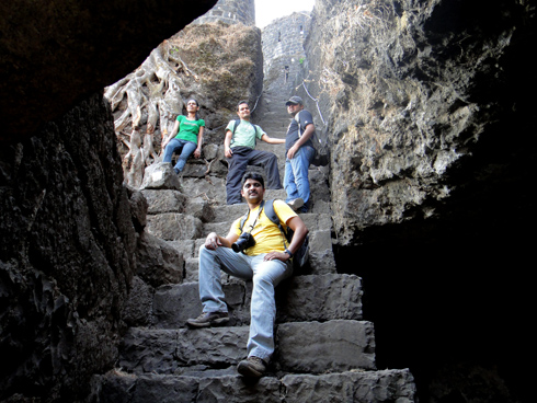
The final stretch called “Shivaji Trail” has recently been restored and hand railings have been added on the steep sections. The steps are split into 2 sections. There is a viewpoint at the end of the first stretch. If you wander to the sides, you can see small caves which are again good photo spots with Tung Fort in the background.
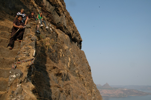

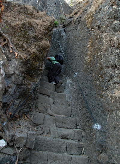
The stairs are steep, no denying that. Each step is much bigger than a regular step and it is broken at many places. But, the good part is that the entire stretch is in shade and is not more than 15-20 steps. This part would easily be the talking point when you get back home. There are steel ropes attached at the sides to help you climb. Do not hold on to them! if you do, you will get your knuckles scraped against the rough stone walls. Instead, just put your palms on the stone walls for support. Again, a photographically beautiful place. We spent a lot of time in crossing this as everyone wanted photos in all sorts of poses. Check out the video to get a better idea of the difficulty/ease of the stairs.
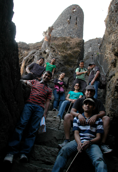
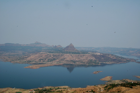
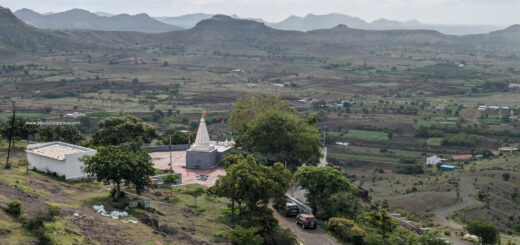
There is not much of the fort remaining except a few walls and gates here and there. Once you reach the top of the plateau, the view is amazing. It should be pretty cold in the winter months as there is nothing around the plateau and the wind is pretty strong. From here, you get an excellent view of Tung Fort with Pavana dam in the foreground. One can also see Lohagad and Visapur forts from the top.
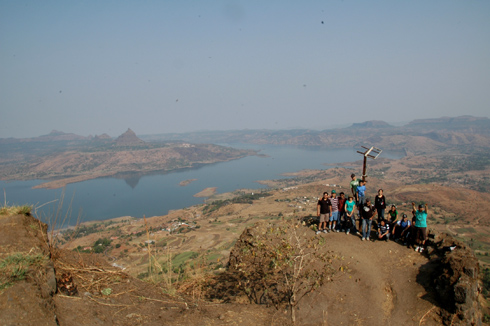

The way down was much faster and of course, we stopped for more photos on the steps 🙂 An enjoyable trek with colleagues!

Hi Rajaram,
Just a quick question is it advisable to visit the tikona-fort at Monsoon like on the month of July ?
Thanks
Debjyoti
Rohan, the top is completely open, no cover/cave. There is a tank mid-way and you usually would find a priest there. So, there is water mid-way, but not at the top.
Hello Guys…..
Nicely described……
I am thinking to take some of my frens to this trek…. I wanted to know if we can halt at the top for a night…. Is there any cave at the top… n if yes how many people can it accomodate…..
Plus does it have any drinking water reserve on the top….. let me know it asap.
Regards
Rohan
B’ful photography !!!!!
THANKS FOR GIVING THIS INFORMATION
I will make plan for this sunday
thanks a lot
12/11/11
hi Friends……………….nice pics.
next month i will be plan for TIKONA.
thanks
hi. we will go tomorrow..
Awesome blog. Really enjoyed all the postings.Very good photography!
I like it very much
now i also try to visit Tikona Fort
Regards
Nitin …..
Hi Rajaram …
Inspired by your trek … here is an account of my visit to the Tikona Fort.
http://know-hari.blogspot.com/2011/06/acid-test-tikona-fort-trek.html
Thanks for all the detailed directions .. Really helped a lot !! 🙂 ..
Do leave your comments on my blog. Thanks